Browse By Data Type
Landsat, a joint program of the USGS and NASA, has been observing the Earth continuously from 1972 through the present day. Today the Landsat satellites image the entire Earth's surface at a 30-meter resolution about once every two weeks, including multispectral and thermal data.
Satellite Imagery
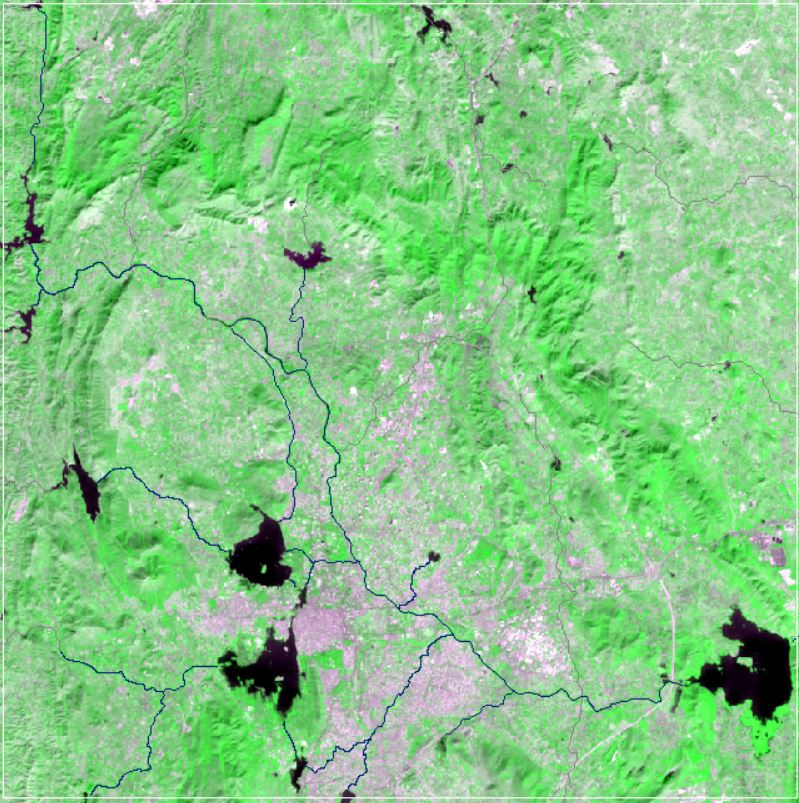
SRTM Digital Elevation Data
The Shuttle Radar Topography Mission (SRTM) digital elevation dataset was originally produced to provide consistent, high-quality elevation data at near global scope. Spatial Resolution: 30 m
 Download
Related images
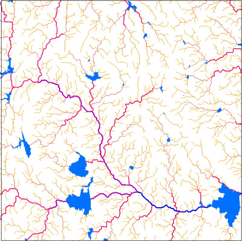
Drainage Network
View more
16 Oct 2020
Drainage Network
Perfumes
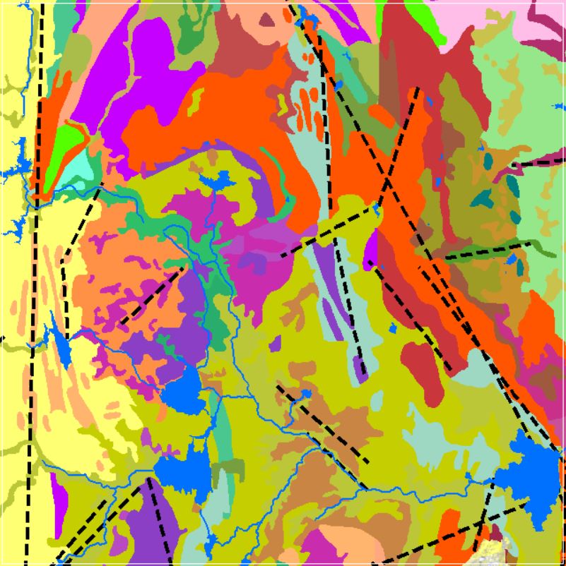
Geomorphology
12 Oct 2020
Geomorphology
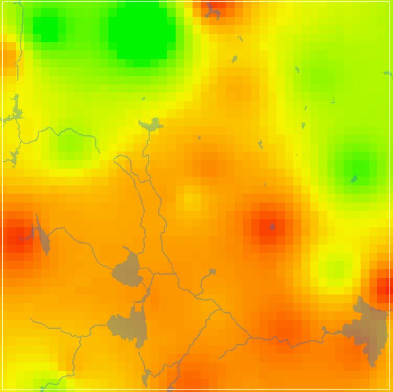
NDVI Vegetation Indices
View more
8 Oct 2020
NDVI Vegetation Indices
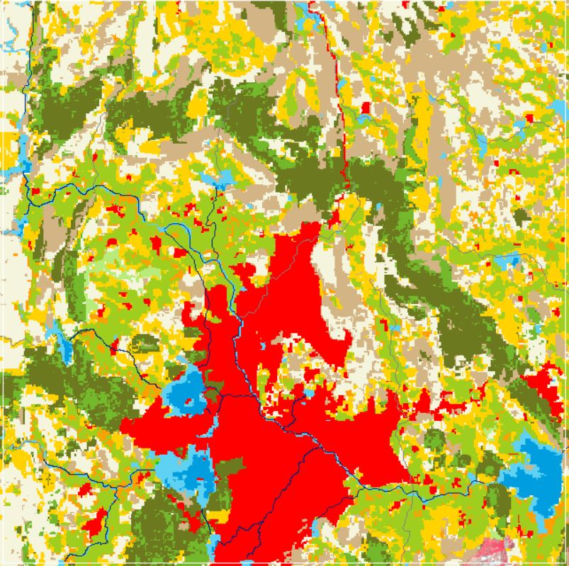
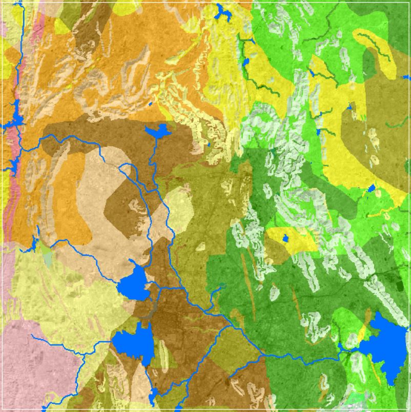
Land Use and Land Cover
View more
6 Oct 2020
Land Use and Land Cover
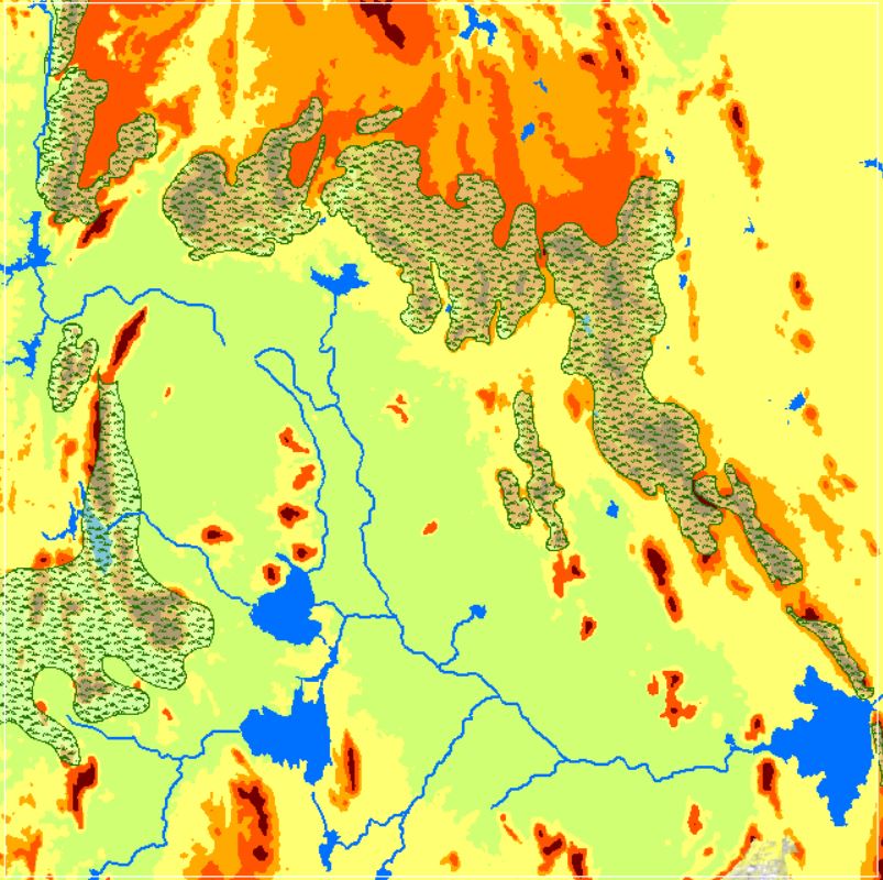
Landforms
View more
26 Sep 2020
Landforms
GW DTWL Data
View more
22 Sep 2020
GW DTWL Data
Soil Texture Data
View more
12 Sep 2020
Soil Texture Data
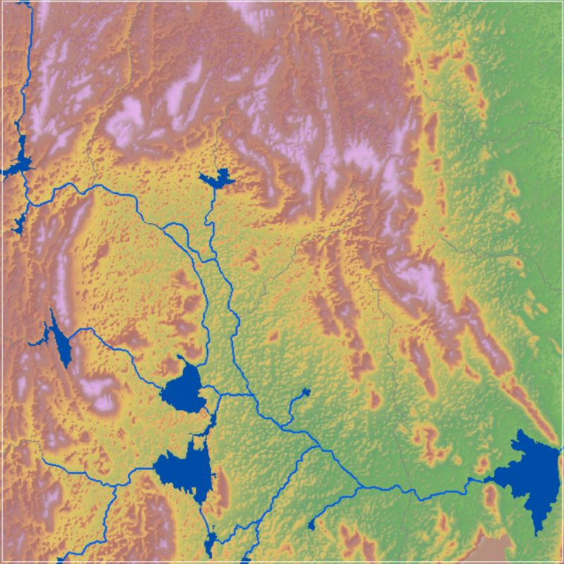
SRTM Digital Elevation Model
View more
4 Sep 2020
SRTM Digital Elevation Model